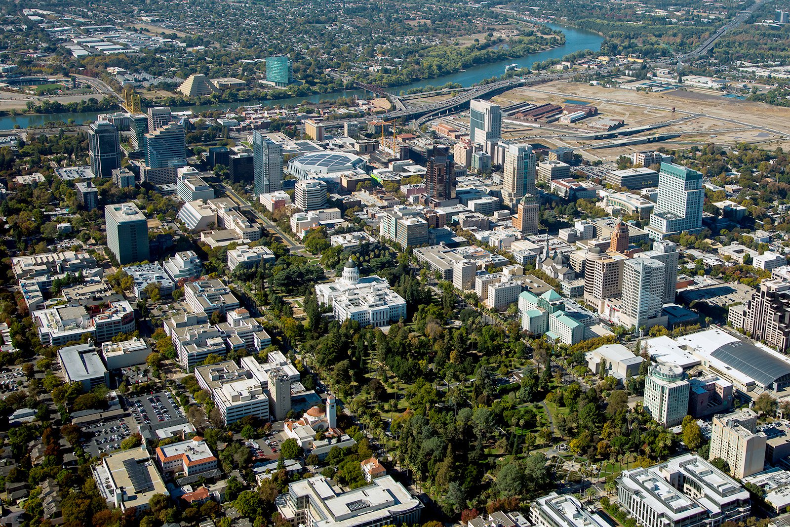
Sacramento, the heart of California, features a beautiful mix of historical landmarks, stunning parks, and thriving urban centers, all of which make it the perfect subject for aerial photography.
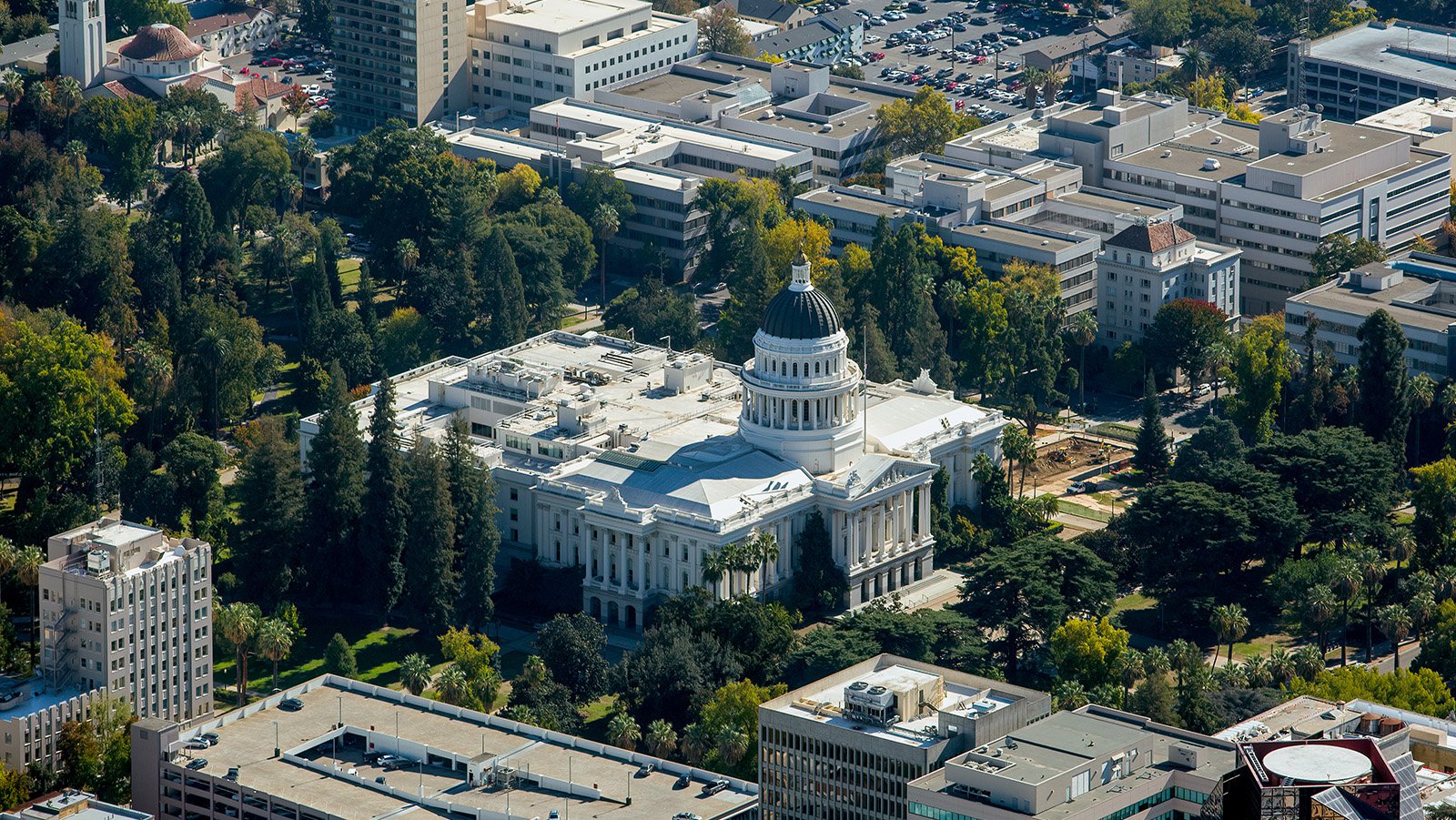
The imposing California State Capitol building, an iconic symbol of the state's political power, stands tall in the center of Sacramento with its neoclassical architecture, 34-meter-tall dome, and stunning rose garden.
What is Aerial Photography?
Aerial photography is the process of capturing images from an elevated vantage point by using a camera and an aircraft. It gives a unique perspective that simply isn't possible from the ground. It's widely used in a variety of fields, including real estate advertising, urban planning, and environmental studies, to name a few. The sky's the limit when it comes to the creative potential of aerial photography.
The Benefits of Aerial Photography in Sacramento
Sacramento, with its blend of modern urban landscapes and natural beauty, provides a wealth of opportunities for aerial photography. From the captivating charm of Old Sacramento to the strikingly modern Golden 1 Center, there's no scarcity of visually appealing sights. Whether you need to showcase a real estate property or monitor a construction project, aerial photography is the way to go.
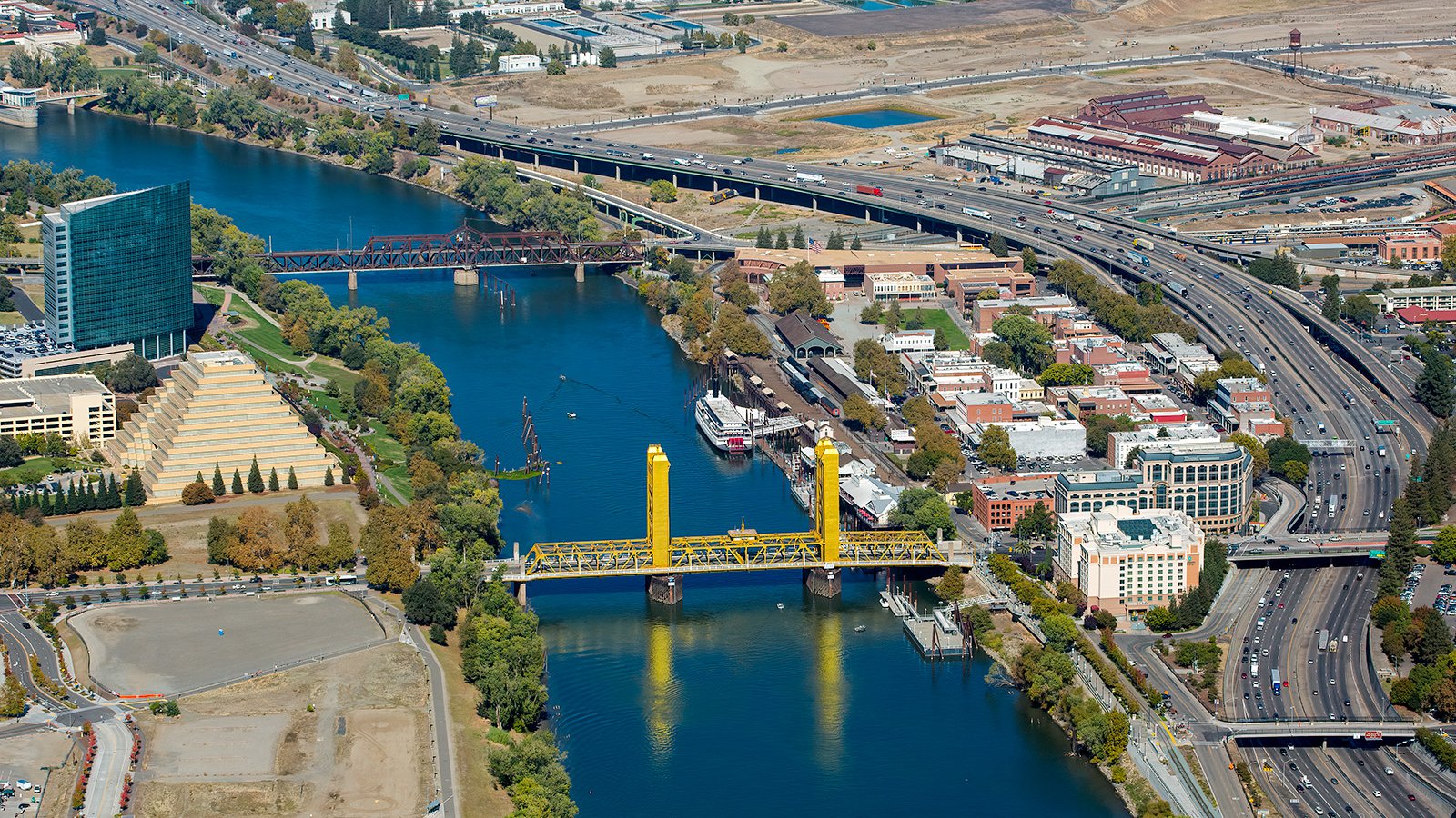
Aerial image of the iconic Tower Bridge spanning the Sacramento River, with historical Old Sacramento nestled on its banks, showcasing the city's rich history and architectural marvels.
Marketing Real Estate
Real estate professionals can leverage the power of aerial photography to effectively advertise residential or commercial properties in and around Sacramento. It provides a comprehensive view of the property and its surrounding areas, which can be crucial in influencing a buyer's decision. For large properties, or those with unique features, aerial photography can more accurately showcase the property.

Aerial photo of the Golden1 Center in Sacramento, California, a multi-purpose indoor arena that serves as the home arena for the NBA's Sacramento Kings and hosts numerous other events throughout the year.
Monitoring Progress on Construction Projects
Aerial photography also proves invaluable in monitoring the progress of large construction projects. Regular aerial shoots can help track the development of the project over time, saving contractors and project managers the effort of frequent on-site inspections. It's a cost-effective way of documenting work progress and can serve as a historical record for future reference.
Aerial view of the ongoing construction of Village at Westshore, a sustainable and amenity-rich housing community in the heart of Sacramento, California.
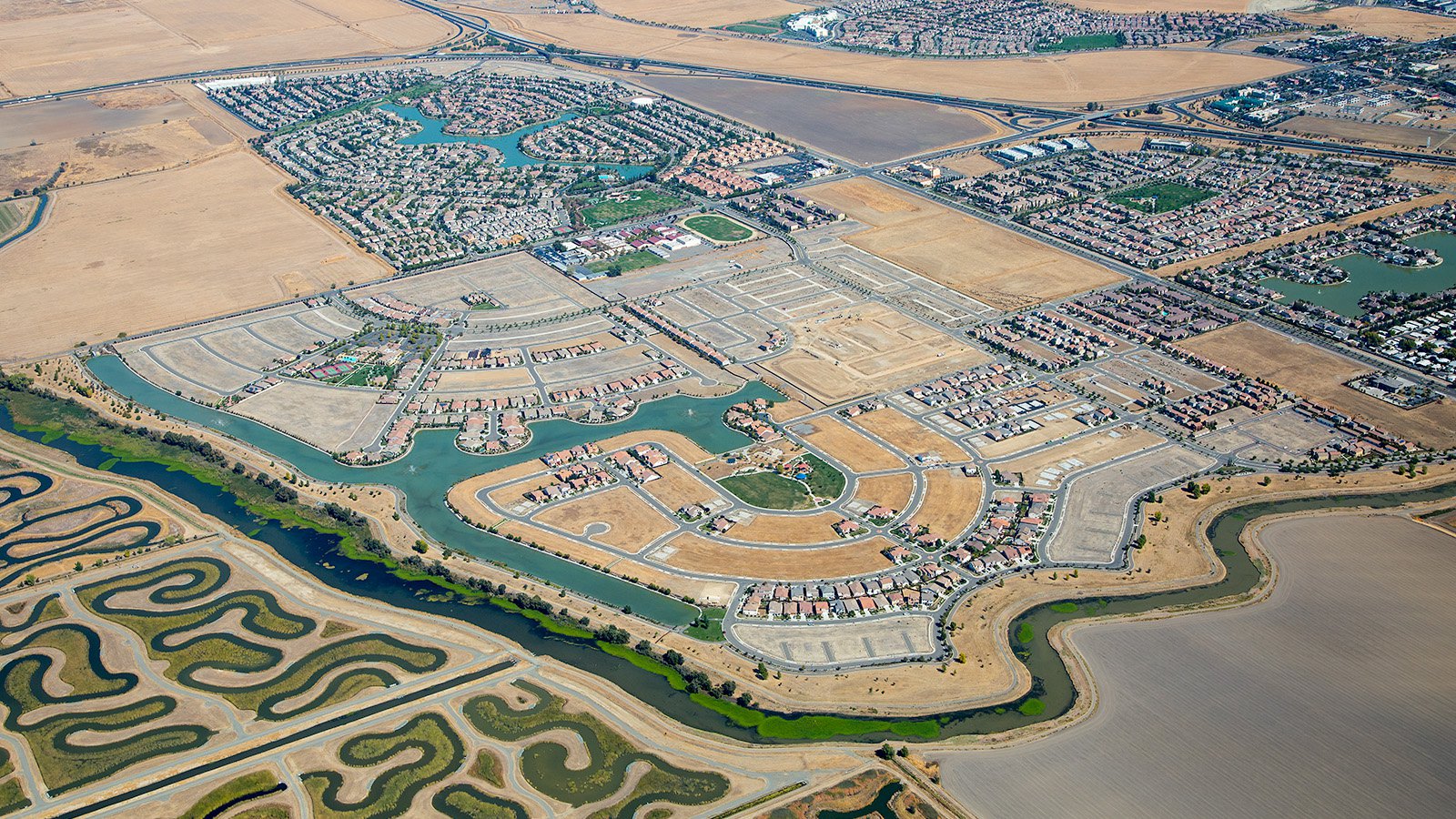
Mapping Entire Neighborhoods
The utility of aerial photography extends beyond the aesthetic. Equipped with high-resolution cameras, we can survey large areas, producing high-quality imagery for GIS and CAD applications. These aerial maps come in handy for urban planning and lead generation, helping stakeholders to make better informed decisions.
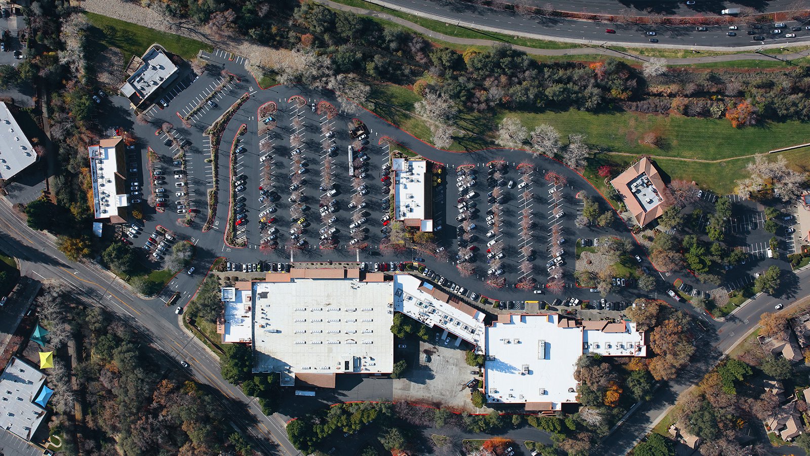
Birds-eye-view of the Gold River Town Center shopping center, which is nestled in the heart of Sacramento, California
So, if you're in Sacramento and require top-notch, professional aerial photography services, look no further. We at West Coast Aerial Photography are excited to capture the unique beauty of Sacramento from a bird's eye view!
Get in Touch Today
We try to capture the unique blend of modernity and history that defines Sacramento in each of our photographs. From the captivating views of the State Capitol building to the scenic beauty of the American River, we are committed to providing you with an unparalleled visual experience.