Oakland—a city that thrums with cultural vibrancy, historic landmarks, and a picturesque waterfront. From the glowing city lights of Lake Merritt to the Riverfront Park, Oakland offers a myriad of stunning vistas waiting to be captured from the sky.
What is Aerial Photography?
Aerial photography refers to capturing images from an elevated or birds-eye perspective, typically using a camera and an aircraft. This form of photography allows for unique angles and views that are impossible to achieve with standard ground-level photography. Whether it's for advertising, real estate, or historical documentation, aerial photography presents limitless creative opportunities and practical applications.

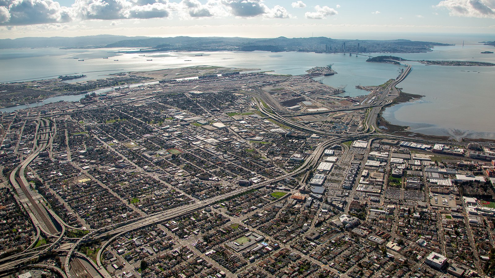
Aerial photo cityscape of Oakland, California, showing the urban landscape surrounded by the tranquil waters of the San Francisco Bay, where the historic Bay Bridge arcs across and connects the bustling city of Oakland with the iconic skyline of San Francisco.
The Benefits of Aerial Photography in Oakland
Oakland, with its rich blend of urban landscapes and natural beauty, presents many perfect scenes for aerial photography. Whether you wish to showcase a property nestled in the Oakland Hills or document the transformation of an old warehouse in Jack London Square, aerial photography provides the perfect solution.

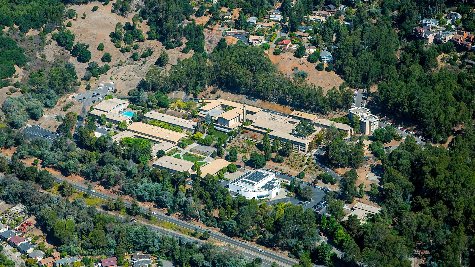
Holy Names University in Oakland, California, a private, co-ed, Catholic institution, with its serene campus nestled among a verdant canopy of lush green trees and distinct natural beige-colored buildings, harmoniously blends into the landscape.
Marketing Real Estate
For real estate agents in Alameda County, aerial photography is a powerful tool to market both residential and commercial properties. Capitalize on the potential of aerial photographs to give potential buyers and renters a comprehensive overview of the property and its surrounding areas. This is particularly effective for large properties that cannot be adequately captured through ground photography alone.

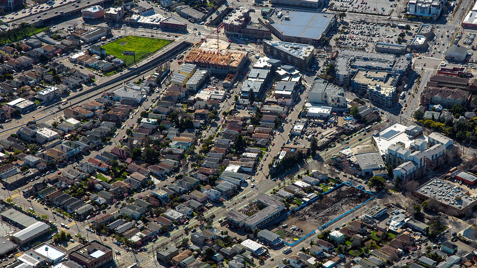
Aerial view of two construction sites in Oakland, California. The lower site, a barren stretch of dirt actively being cleared and graded in preparation for future development, and the upper site in an advanced stage of construction, prominently displaying a wooden framework rising amidst the urban landscape.
Monitoring Progress on Construction Projects
Aerial photography is also instrumental in monitoring and documenting progress on large-scale construction projects such as office buildings, shopping centers, or housing developments. Regular aerial photo shoots offer developers an effective way to keep track of the project's progress without the need for constant on-site inspections. Apart from efficiency, these photographs serve as valuable documentation for insurance and legal purposes.

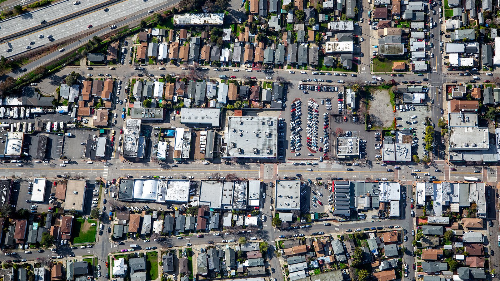
Vertical aerial image of Oakland, California. A commercial building at the center shows off a full parking lot, while the surrounding urban area features a series of multifamily residential structures on both sides of the street, reflecting the area's mixed-use development and vibrant community atmosphere.
Mapping Entire Neighborhoods
Aerial photography extends beyond beautiful visuals—it serves practical purposes too. High-resolution cameras attached to aircraft can survey extensive areas, delivering high-accuracy images for GIS and CAD applications. These aerial maps can then be used for planning purposes, or help service providers, like roofing contractors, to identify potential business opportunities.
Whether you're aiming to track your construction project, impress potential property buyers, or simply wish to capture the diverse beauty of Oakland from up above, consider aerial photography as your go-to solution!
Our team at West Coast Aerial Photography, led by Mark and Steven, is here to provide top-tier aerial photography services in Oakland.
Get in Touch Today
From captivating images of the grandeur Fox Theatre to sunset shots over the San Francisco Bay, we aim to encapsulate the unique essence of Oakland in every image we capture.