Founded in 1861 and nestled in the heart of the California's Central Valley, Manteca is a city full of charm, history, and a variety of sights that are best appreciated from an aerial vantage point. From the lush landscapes of Delicato Family Vineyards to the vibrant excitement of Big League Dreams Sports Park, aerial photography allows us to tell Manteca's story in unique and captivating ways.
What is Aerial Photography?
Aerial photography involves taking photographs from a heightened perspective, usually from an aircraft, providing unique angles and views inaccessible through traditional ground-level photography. Aerial photographers utilize aircraft to capture remarkable images of landscapes, cities, landmarks, and more. These images can be utilized in various arenas such as advertising, marketing campaigns, real estate listings, and beyond. The sky is truly the limit with aerial photography.

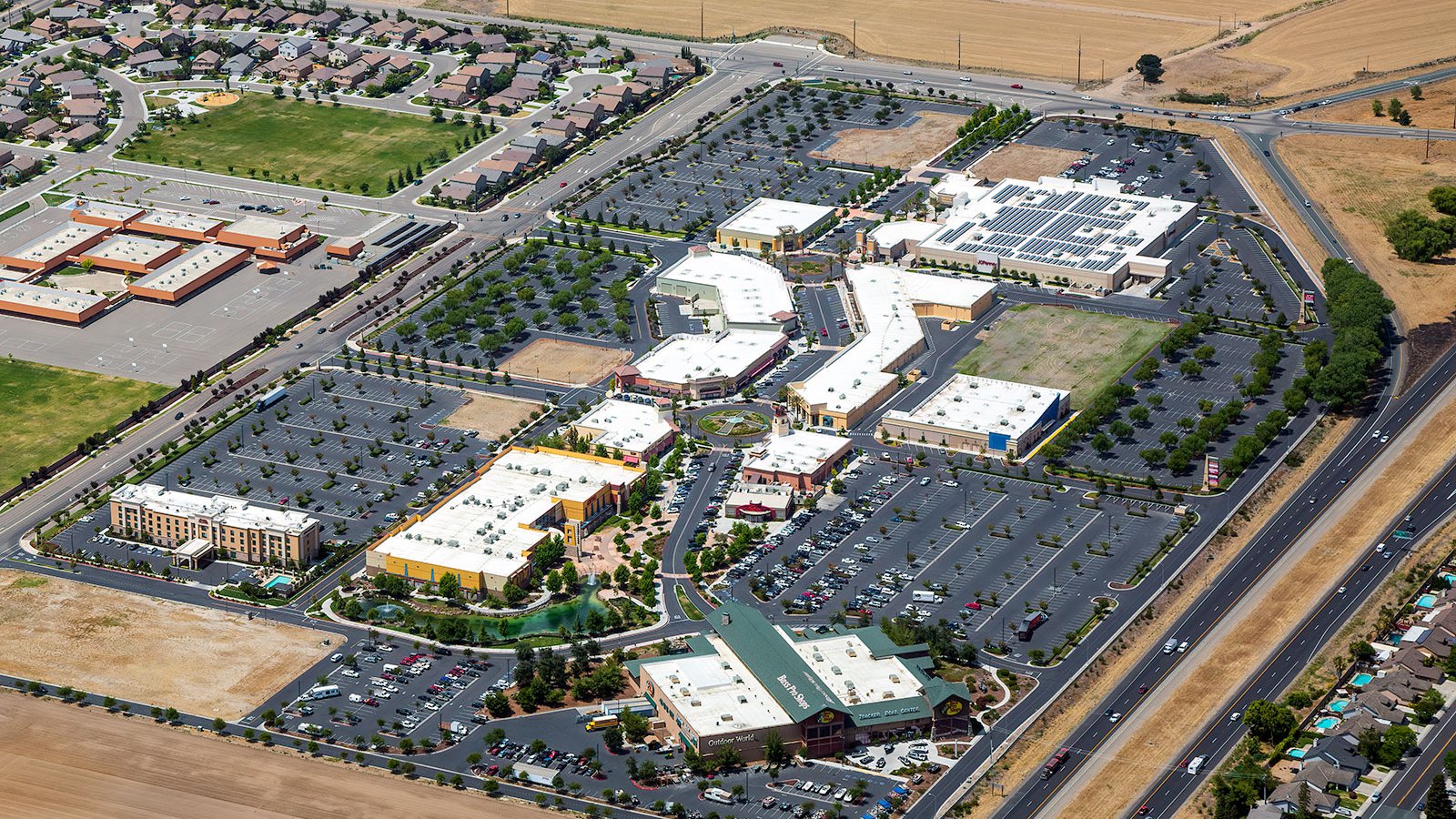
Aerial view of the Promenade Shops at Orchard Valley, a sprawling shopping center in Manteca, California, with premium stores including anchor tenants like JC Penney, Bass Pro Shops, and a state-of-the-art AMC cinema with 16 screens.
The Benefits of Aerial Photography in Manteca
Manteca, in the heart of California, presents an abundance of beautiful landscapes and notable landmarks, ranging from the bustling Manteca Park Golf Course to the serene Caswell Memorial State Park. Whether used for showcasing a property to potential buyers, documenting construction projects, or creating stunning artwork, aerial photography in Manteca offers an unmatched perspective.

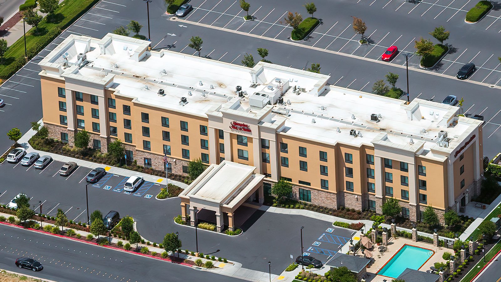
Aerial photo of Hampton Inn & Suites in Manteca, California, a four-story hotel featuring a outdoor pool and located adjacent to a large shopping center with a cinema and several restaurants.
Marketing Real Estate
Real estate agents in Manteca can harness the power of aerial photography to effectively market residential and commercial properties. Aerial photographs give potential buyers and renters an all-encompassing view of a property and its surrounding areas. This is especially beneficial for large properties where ground-level photos may not adequately capture the true essence of the location.

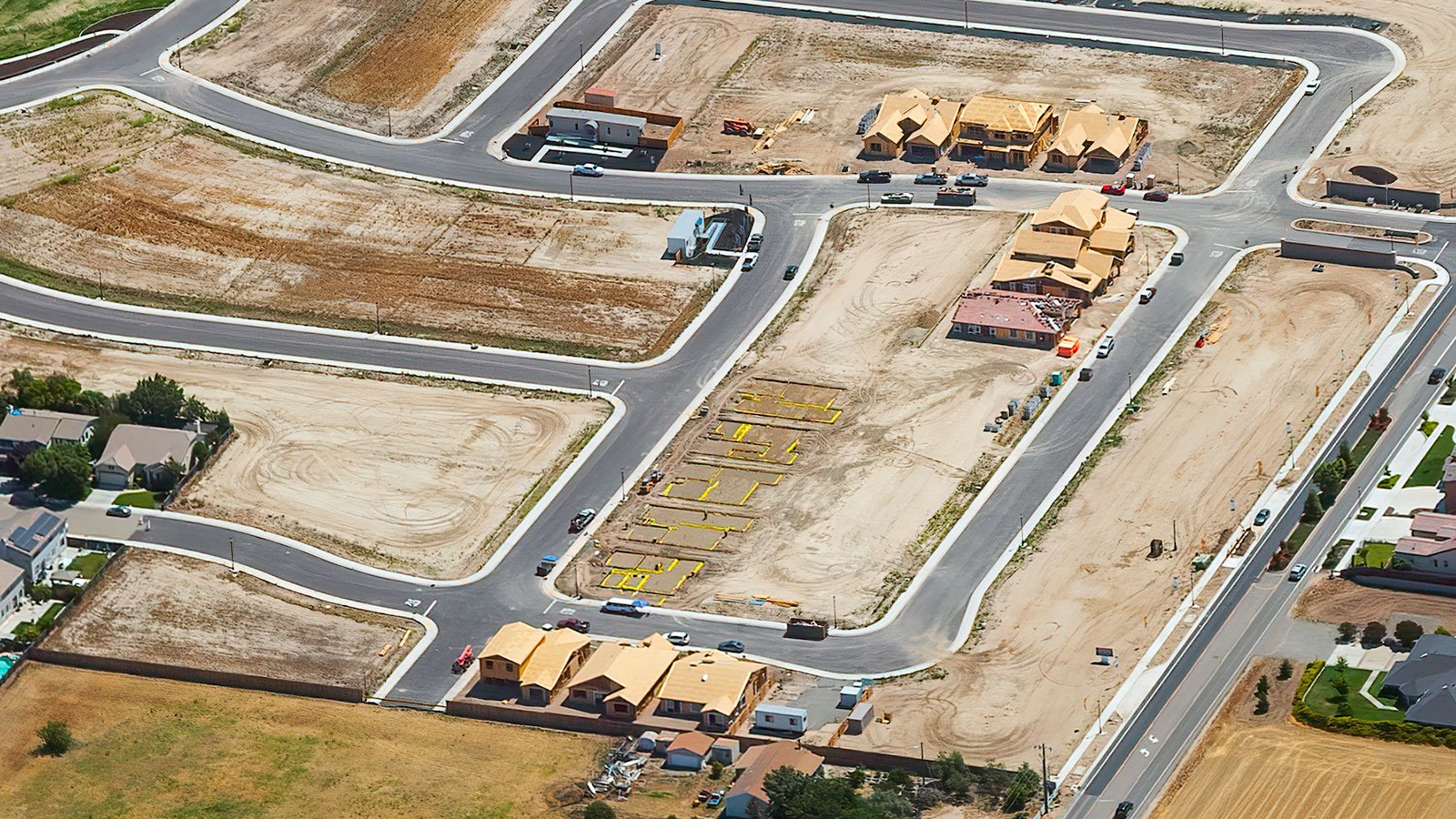
Aerial photo of construction at the Sundance in Manteca housing community showing numerous housing units in different stages of development.
Tracking Construction Projects
Aerial photography is also an excellent tool for monitoring progress on large-scale construction projects, such as shopping centers, housing developments, or industrial buildings. Regular aerial photo sessions can accurately track project progression, eliminating the need for constant on-site visits. This not only saves time and money but also provides a detailed chronological record of the project's evolution.

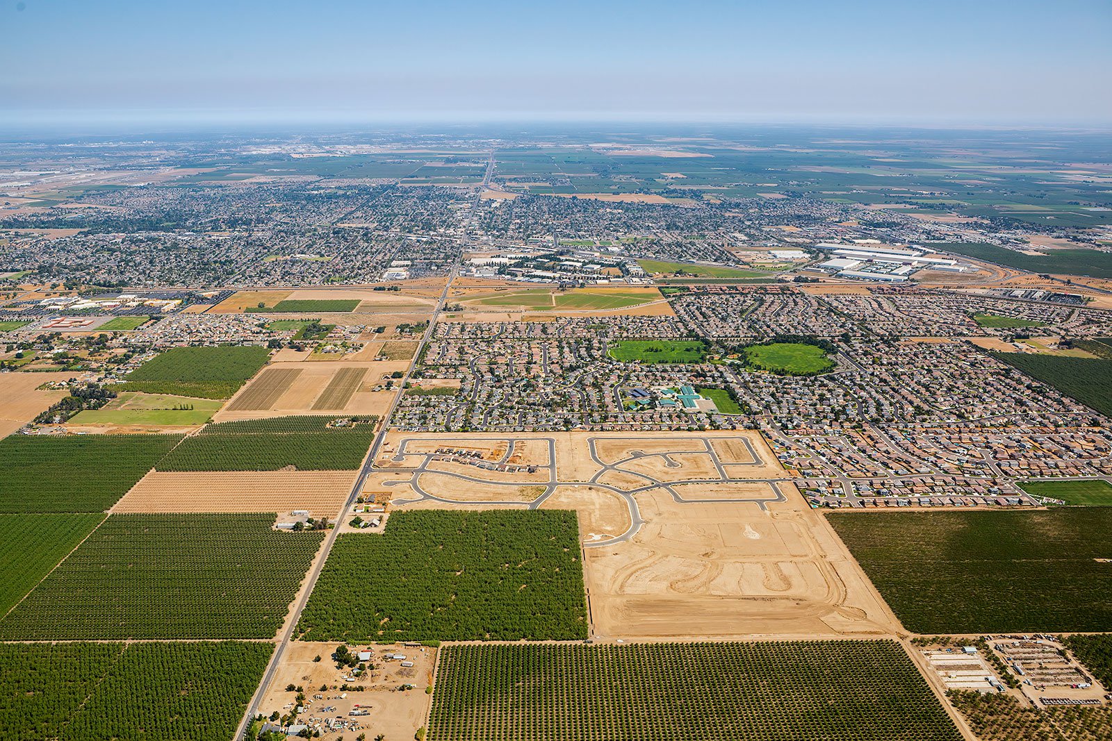
Orthophoto of Manteca, California capturing the city's thriving agriculture industry with expansive fields of almonds, walnuts, and other crops, as well as its growing population highlighted by new housing developments and residential areas.
Mapping Manteca Neighborhoods
Aerial photography is not only visually stunning but also immensely practical. High-resolution cameras mounted on aircraft can quickly survey large areas, producing precise imagery for GIS and CAD applications. From city planning to identifying potential construction leads, such as locating roofs that need reparations, aerial photography offers invaluable insights.
Whether you’re looking to track your construction project, market real estate, or simply capture the unique beauty of Manteca from the air, look no further. Our team here at West Coast Aerial Photography is dedicated to delivering top-tier aerial photography services in Manteca.
Contact Us Today
From breathtaking captures of Manteca's quaint downtown to mesmerizing sunset shots over Woodward Community Park, we are committed to capturing the unique charm and essence of Manteca in every photograph. Don't hesitate to reach out to us for your next aerial photography project.