Irvine, a dynamic, diverse city nestled in Orange County, boasts a variety of unique locales and attractions. From the picturesque hills of Quail Hill to the bustling Irvine Spectrum Center, aerial photography presents an opportunity to narrate untold stories.
What is Aerial Photography?
Aerial photography is a specialized genre of photography where images are captured from an elevated perspective. Typically, these images are taken from an aircraft, offering unique angles impossible to achieve with traditional ground-level photography. Aerial photographers leverage this technique to capture stunning images of landscapes, cities, monuments, and more, for use in a variety of applications including advertising, marketing campaigns, real estate listings, and more. With aerial photography, your creativity knows no bounds.
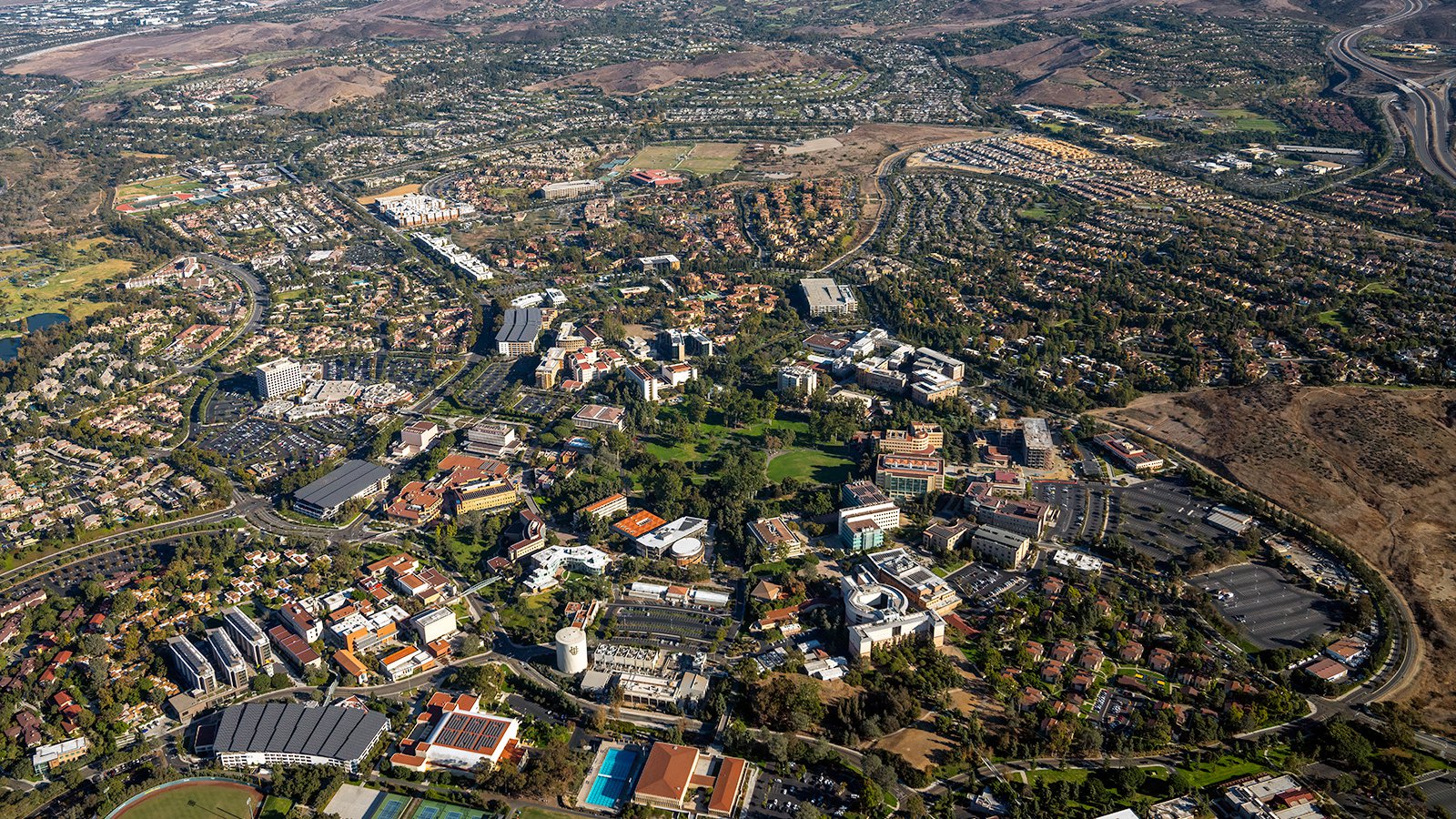
Aerial view of the sprawling University of California, Irvine (UCI) campus.
The Advantages of Aerial Photography in Irvine
Irvine, with its stunning parks, unique architecture, and beautiful communities such as Woodbridge and Turtle Rock, offers a wealth of visuals for aerial photography. Whether you need to highlight a property for prospective buyers or document a construction project, aerial photography is an exceptional tool.
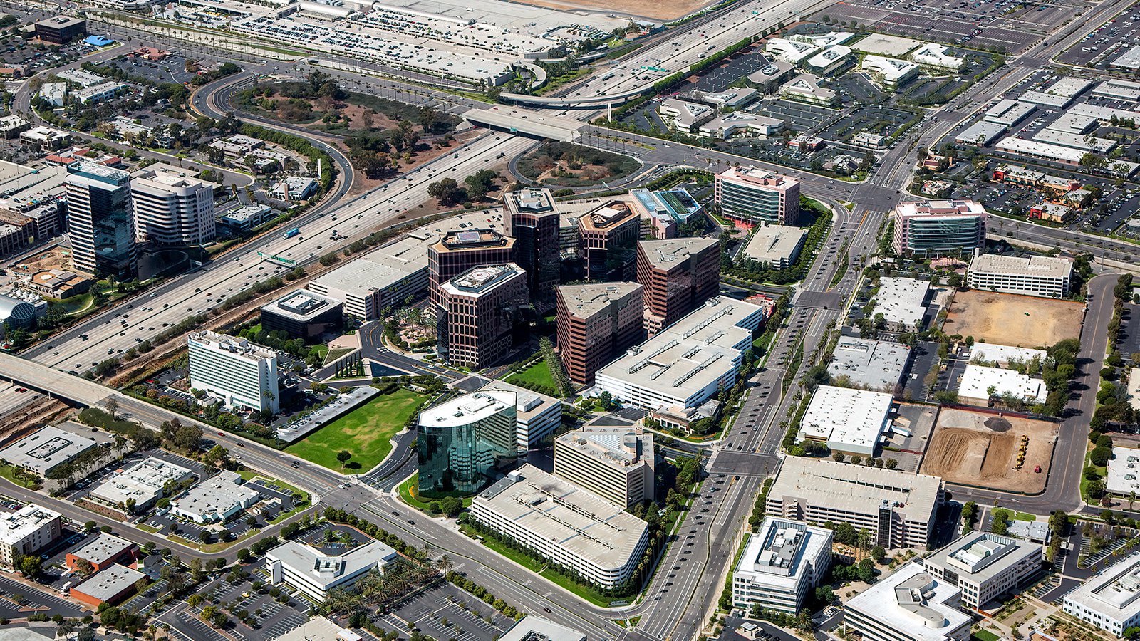
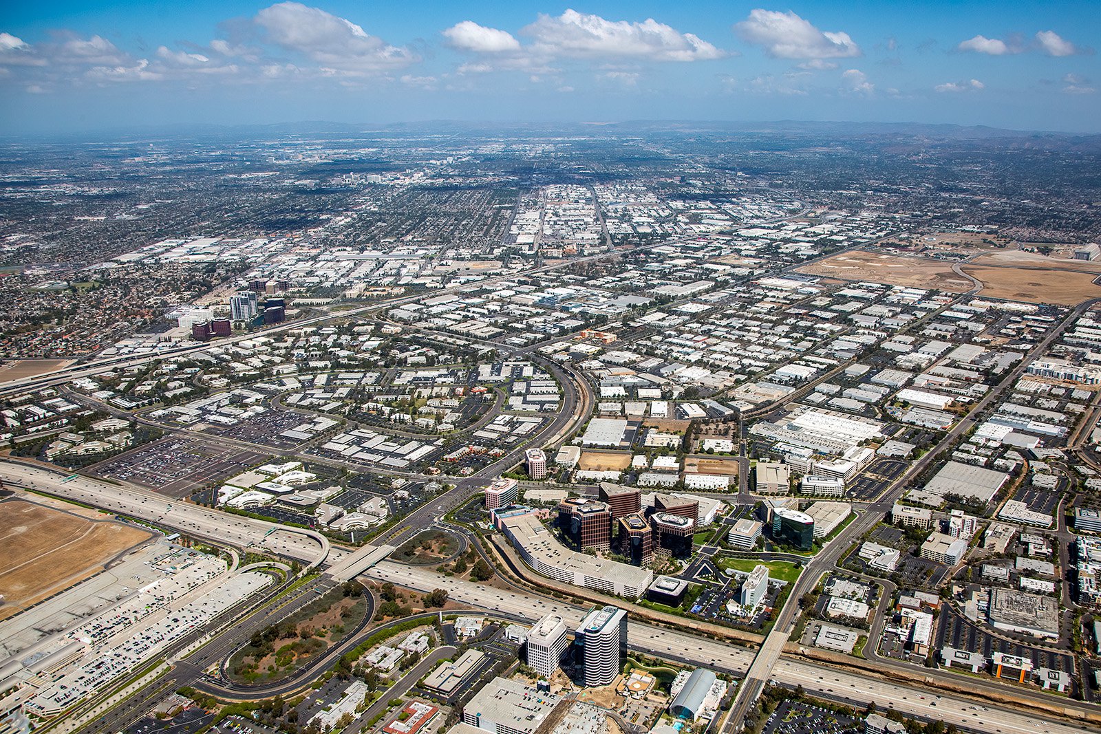
Aerial photo of the Irvine Complex Business Park, a commercial real estate hub.
Marketing Real Estate
Aerial photographs are a powerful tool for real estate agents marketing residential or commercial properties in Irvine. These images provide potential buyers and renters a comprehensive overview of a property, its size, and the surrounding neighborhood. This perspective is particularly valuable when showcasing larger properties where ground photographs may fall short.
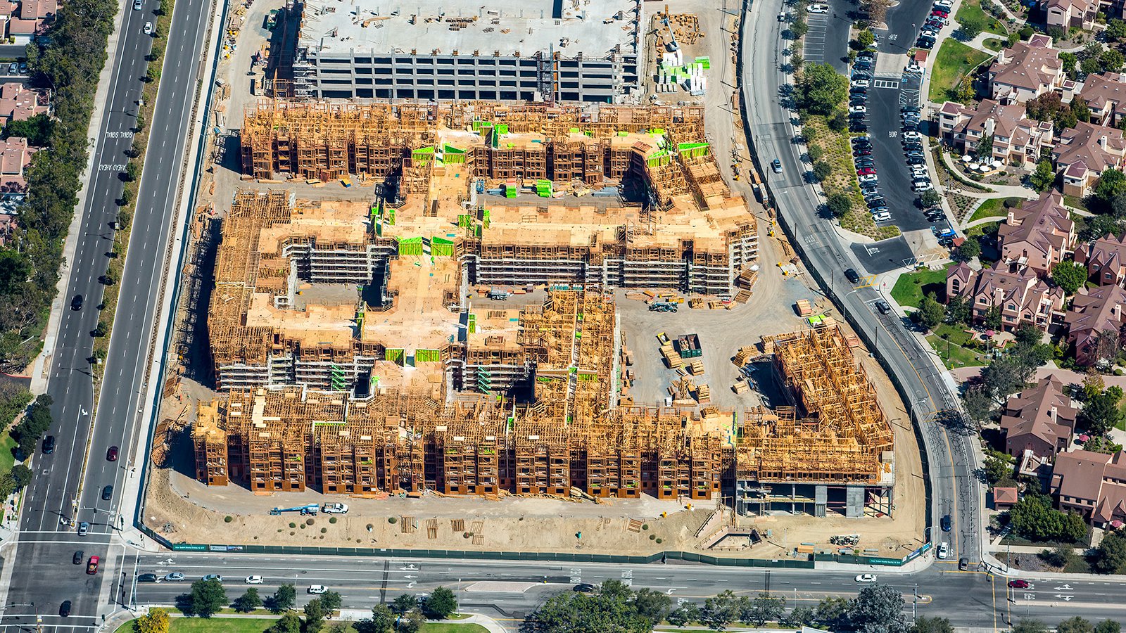
Construction of UC Irvine student housing Plaza Verde, one part of the on-going the development and expansion happening at UCI.
Monitoring Progress on Construction Projects
Aerial photography is an excellent resource for tracking progress on significant construction projects. Regularly scheduled aerial photo sessions allow contractors and developers to monitor progress without the need for in-person inspections. This method offers time and cost savings, and provides accurate progress updates. These images can also be used for insurance purposes, potentially saving developers significant resources in the event of legal disputes.
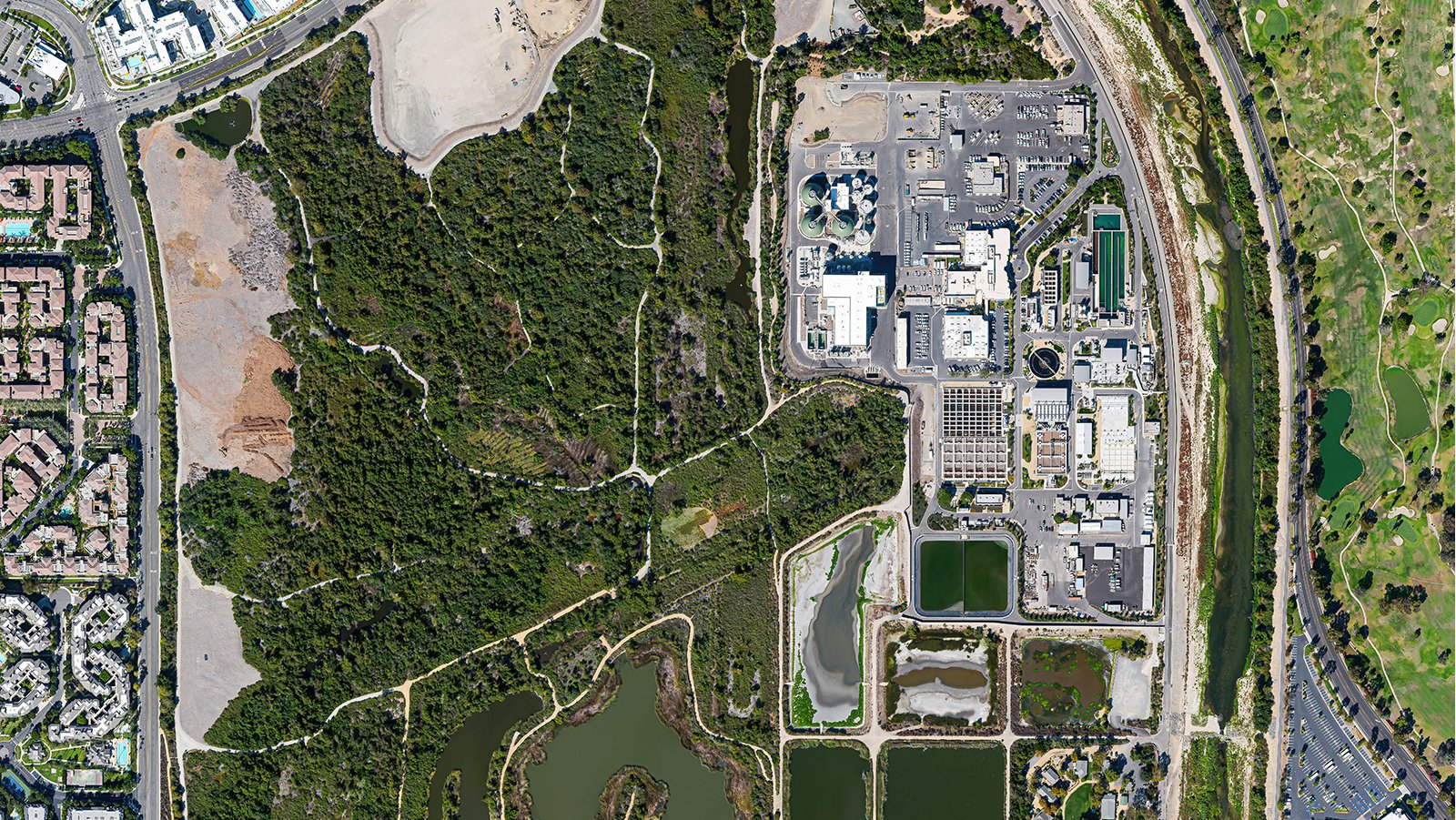
Orthophoto of the Irvine Ranch Water District (IRWD) water treatment facilities.
Mapping Entire Neighborhoods
Aerial photography is not just about aesthetics, it also has practical applications. High-resolution cameras mounted on aircraft can survey large areas, producing precise, high-resolution images for GIS and CAD purposes. These aerial maps can be used for planning applications or to generate leads for contractors, such as identifying homes in need of roofing repairs.
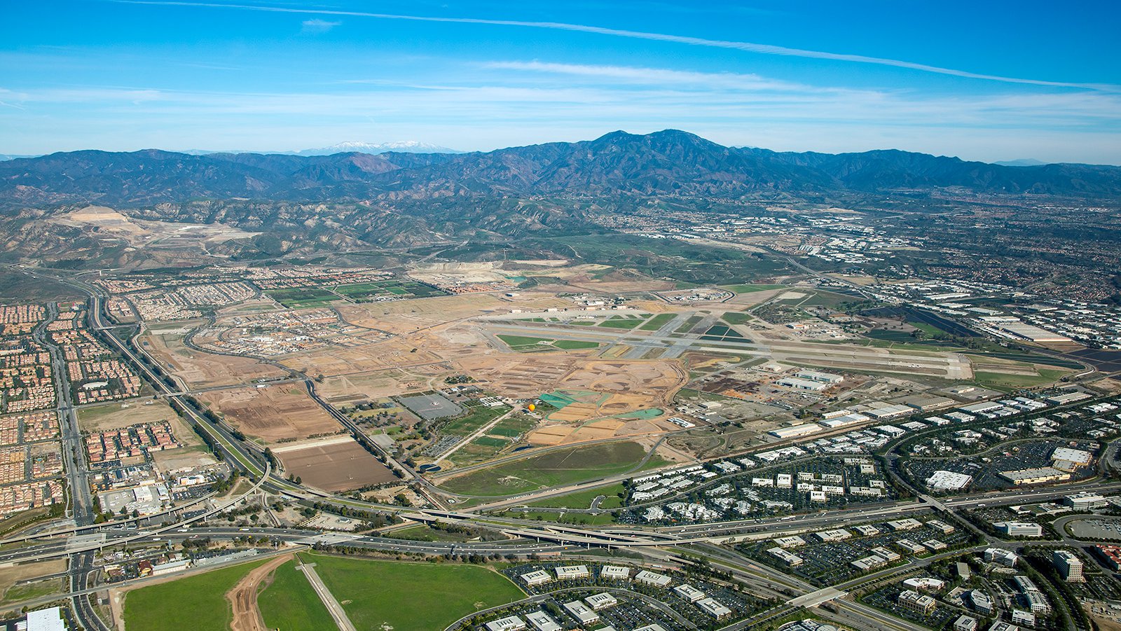
Formerly the El Toro Marine Corps Air Station, the Orange County Great Park provides Irvine residents with open spaces and many park ammenities.
Whether you’re seeking to monitor your construction project or desire captivating photographs of the unique beauty of Irvine, aerial photography is the ideal solution! Aerial photography offers a unique view of landscapes and urban environments, making it suitable for a wide range of applications. For exceptional aerial photography services in Irvine, look no further than our team here at West Coast Aerial Photography!
Get in Touch Today
We endeavor to capture the unique character and spirit of Irvine in each photograph we create. From captivating images of the UC Irvine campus, to the serene beauty of the San Joaquin Wildlife Sanctuary at sunset, let us help you tell your story.