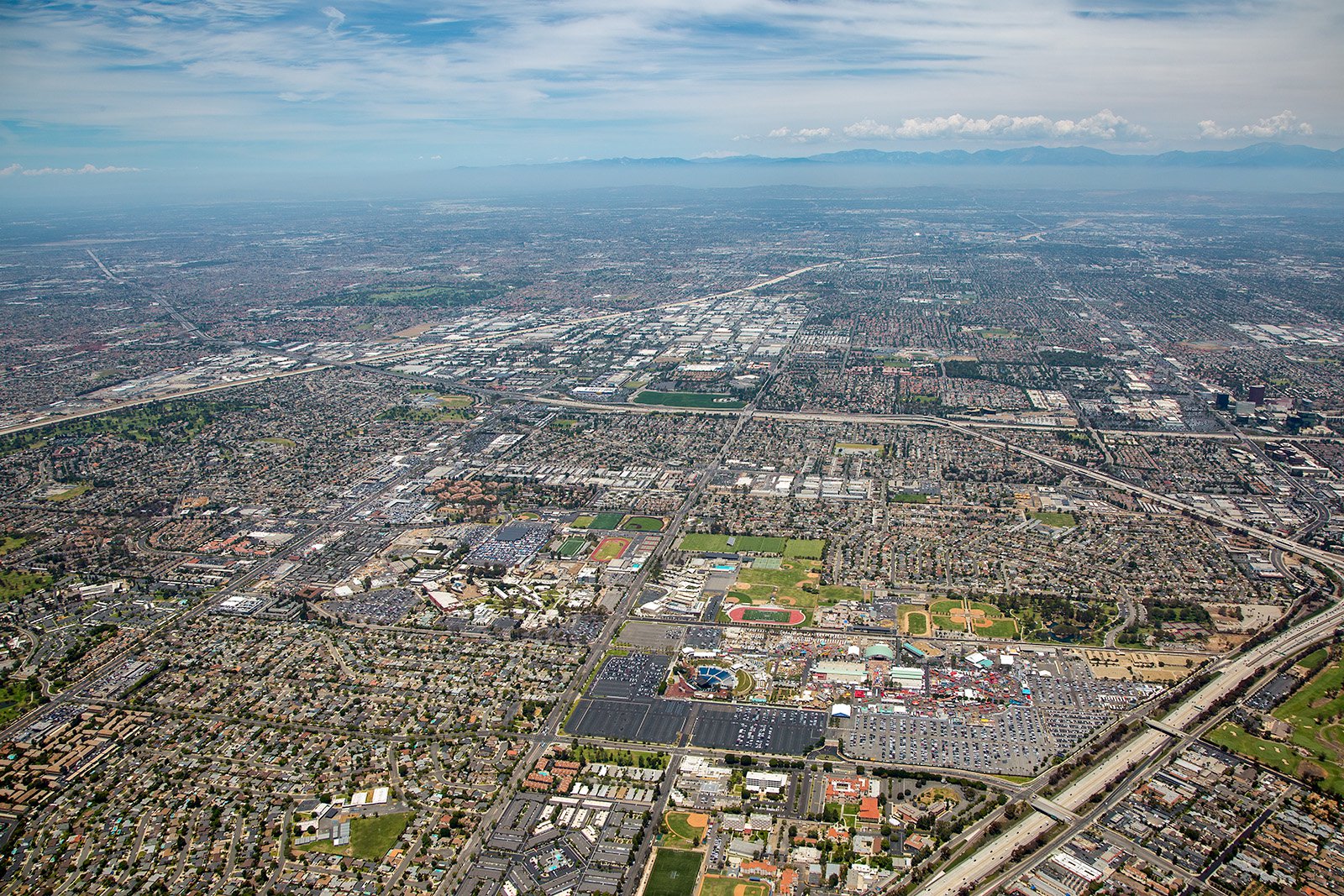
Nestled in the heart of Orange County, Costa Mesa boasts a diverse assortment of stunning landscapes, from the South Coast Plaza to the scenic coastal views of Newport Beach. A rich tapestry of local stories and unique attractions are waiting to be captured through the lens of aerial photography.
What is Aerial Photography?
Aerial photography captures images from a bird's-eye perspective, typically using a camera and an aircraft. This distinctive form of photography opens up a world of unique angles and breathtaking visuals not achievable through conventional ground-level photography. Aerial photography is a versatile tool used for several applications ranging from advertising, marketing campaigns, real estate listings, and more.
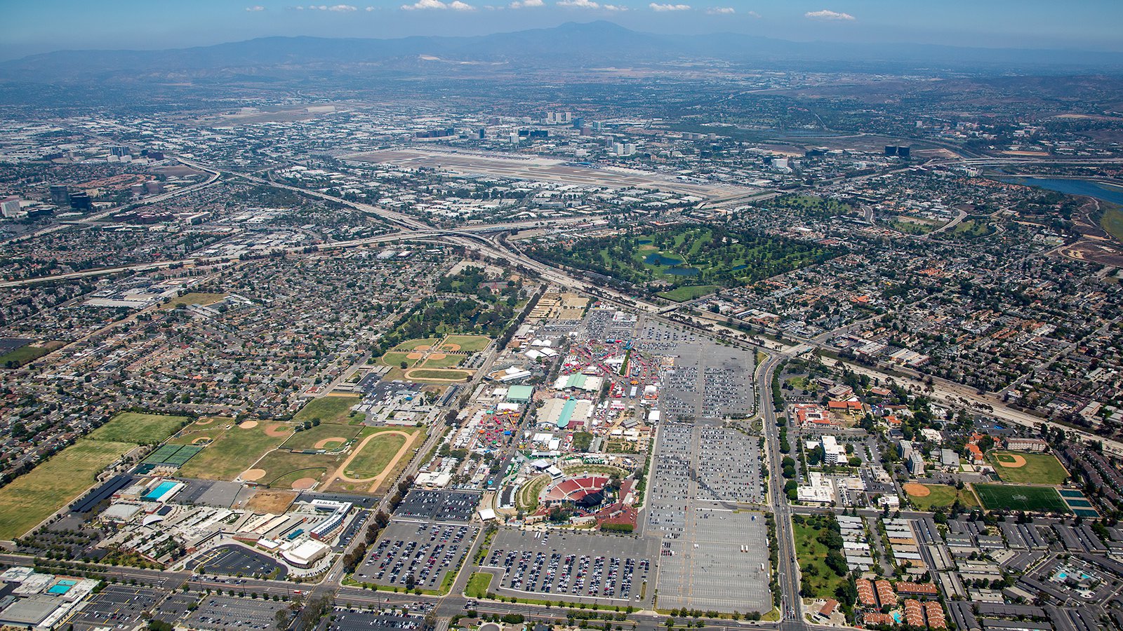
Aerial cityscape of Costa Mesa, California with the bustling Orange County Fairgrounds in the foreground and the sprawling John Wayne Airport in the background, serving as a major transportation hub for the region.
The Advantages of Aerial Photography in Costa Mesa
Costa Mesa's unique blend of urban development and natural beauty offers a fantastic canvas for aerial photography. From the bustling commercial areas to the tranquil coastal landscapes, there's an abundance of captivating scenes to explore from the sky. Whether you're looking to showcase your property for prospective buyers or tracking the progress of a construction project, aerial photography can provide the ideal solution.
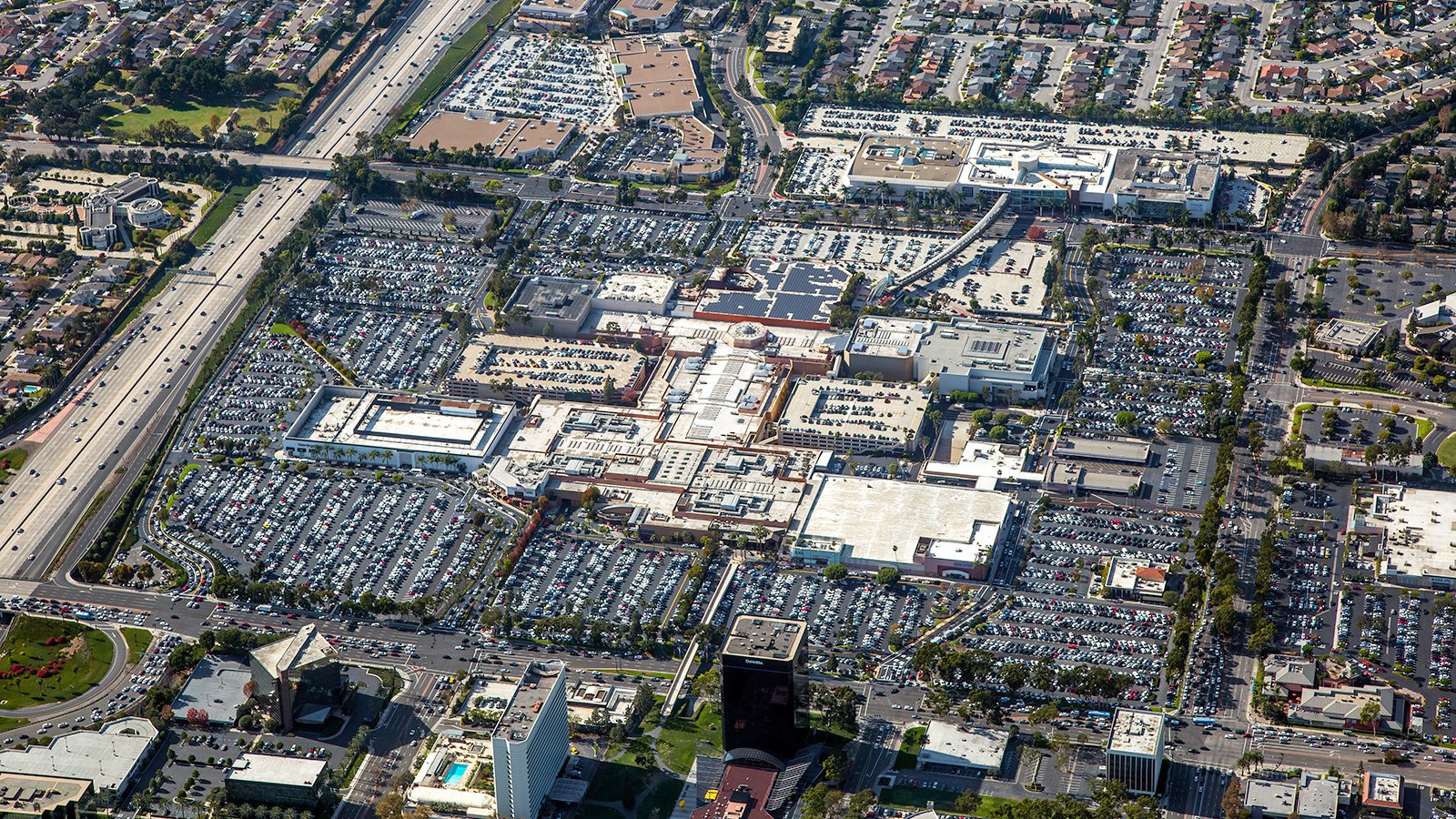
A staggering scene at the South Coast Plaza's parking lot on Black Friday, completely filled with vehicles as shoppers flock to one of the premier shopping destinations in Southern California.
Promoting Real Estate
Real estate professionals can leverage aerial photography to highlight the properties they've listed for sale or rent within Costa Mesa. Aerial images give potential buyers and renters a holistic perspective of the property and its surrounding environment, particularly beneficial for more expansive properties where ground-level photos may not fully capture the property's essence.
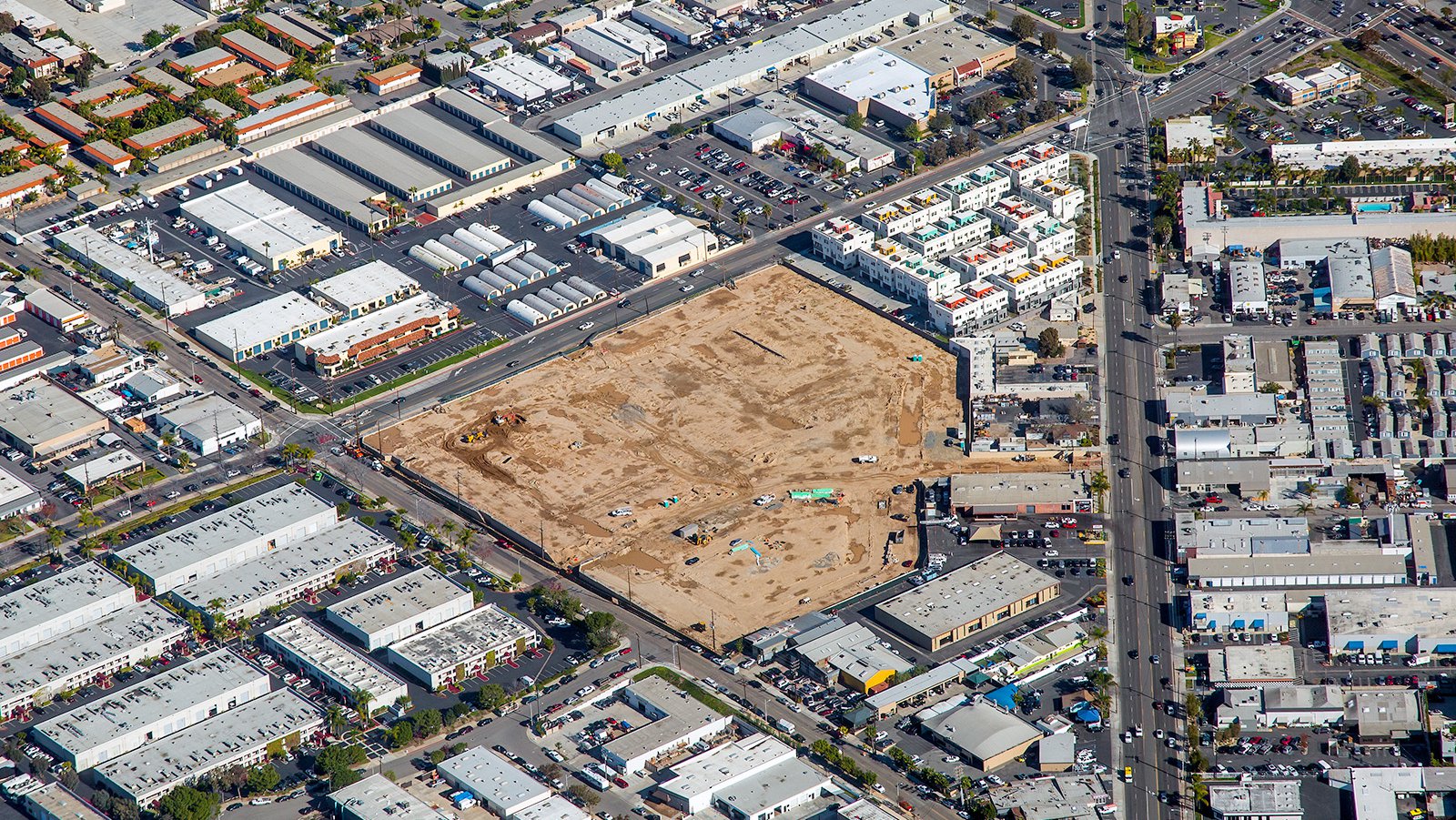
Aerial view of the Westside Gateway Apartments residential development in Costa Mesa, California, captured in the early stages of construction as it transforms a former industrial site into a cohesive community with live-work homes, parks, and boutique retail offerings.
Observing Progress on Construction Projects
Aerial photography is an invaluable resource for monitoring construction development on large-scale projects such as shopping centers, residential complexes, or industrial buildings. Regular aerial photoshoots can provide project managers with a comprehensive overview of construction progress, saving valuable time and resources. These photographs can also serve as a reliable reference for insurance purposes or in the event of legal disputes.
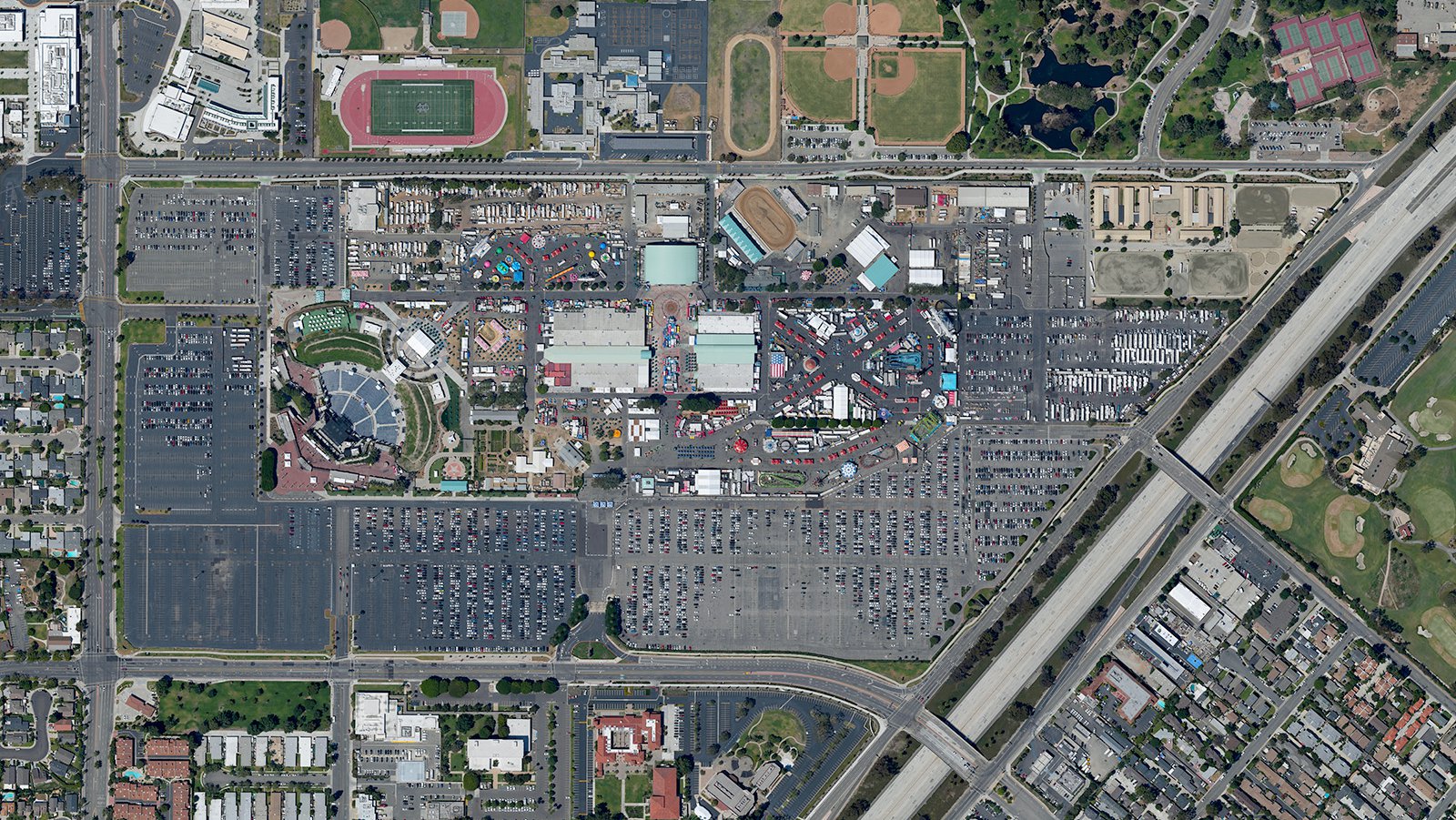
A high-resolution orthophoto of the Orange County Fair in Costa Mesa, California, featuring exciting rides, diverse food vendors, and vibrant carnival games that attract millions of visitors annually.
Surveying Entire Neighborhoods
Aerial photography not only produces stunning visuals but also has practical applications. Using high-resolution cameras mounted on aircraft, large areas can be surveyed to produce accurate, high-definition maps for GIS and CAD purposes. These aerial maps can serve both planning purposes and lead generation—for example, roofing contractors can easily identify roofs requiring repair.
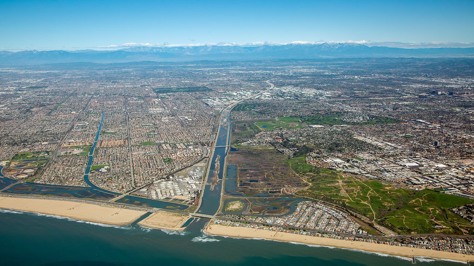
The City of Costa Mesa, California, sprawling from the beach to the mountains, showcasing its impressive architecture and lively cityscape.
If you're seeking an effective way to monitor your construction project's progress or desire captivating photographs that encapsulate Costa Mesa's unique charm, our aerial photography service is the ideal solution! With unparalleled perspectives of any landscape or urban environment, aerial photography serves all types of applications. For high-quality aerial photography services in Costa Mesa, look no further than our expert team here at West Coast Aerial Photography!
Contact Us Today
From stunning shots of South Coast Plaza to mesmerizing sunset vistas over Newport Beach, we strive to encapsulate the spirit and character of Costa Mesa in every photograph we craft.