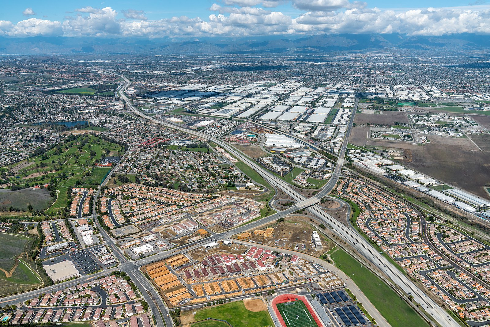
Chino Hills, nestled in picturesque San Bernardino County, is a blend of urban vibrancy and natural beauty. From the sprawling Chino Hills State Park to the bustling Shoppes at Chino Hills, there are countless narratives to be unveiled through aerial photography.
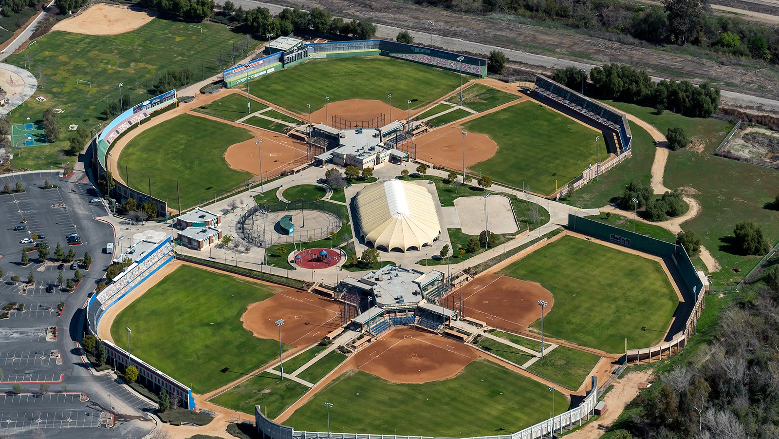
Aerial view of Big League Dreams, an expansive 34-acre sports park with six baseball diamonds, located in Chino Hills, California.
What is Aerial Photography?
Aerial photography involves capturing images from an elevated vantage point, usually with a camera and an aircraft. This distinct type of photography offers unique perspectives that traditional ground-level photography can't achieve. Aerial photographers leverage aircraft to capture remarkable images of landscapes, cities, landmarks, and more, to be used in advertising, marketing campaigns, real estate listings, among others. The sky's the limit with the creative potential of aerial photography.
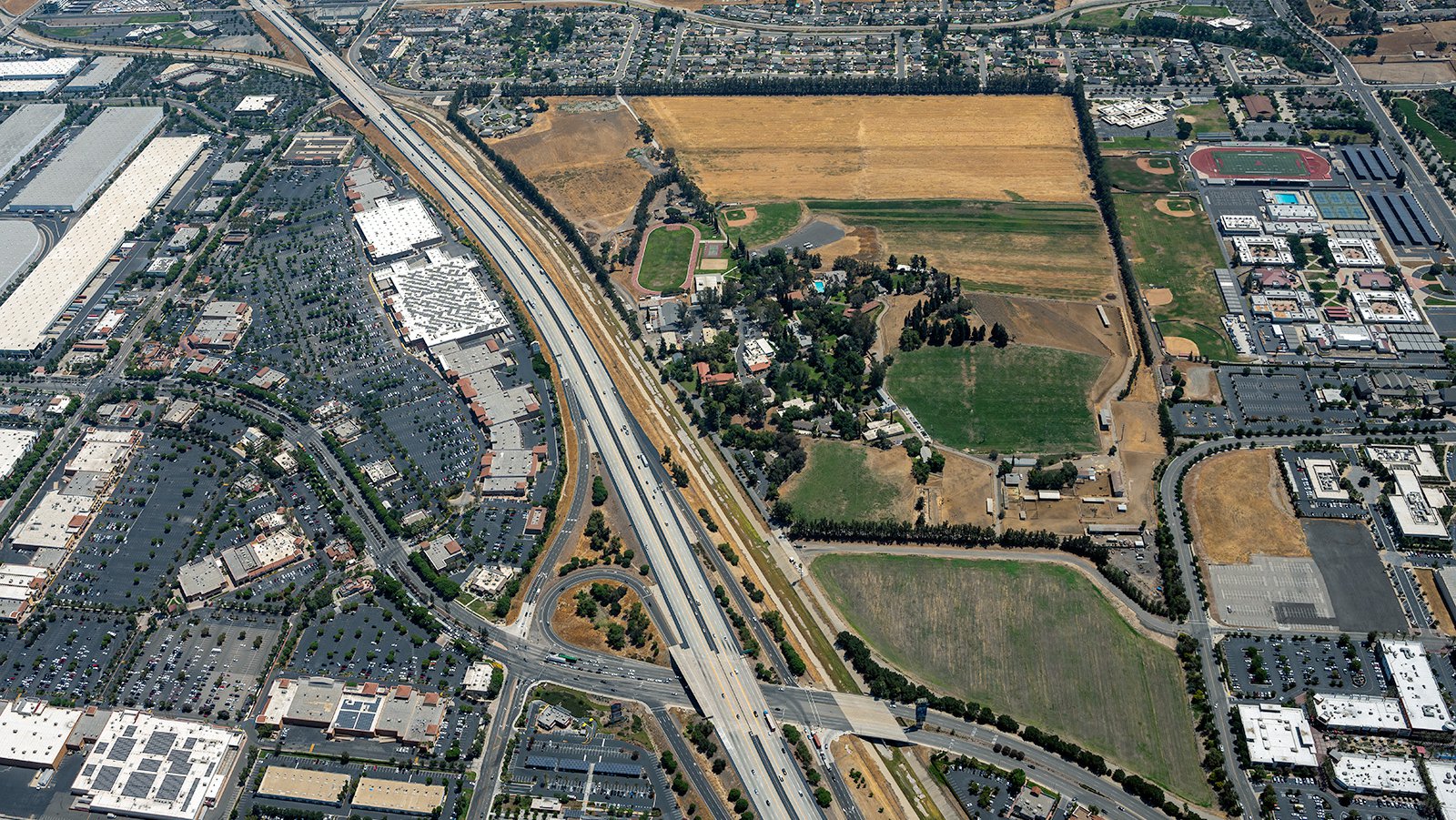
Bird's eye view of Boys Republic High School, which offers multidisciplinary treatment for trouble adolescents, highlights the institution's open & sprawling 200-acre property in Chino Hills, California.
The Benefits of Aerial Photography in Chino Hills
Chino Hills is home to some of the most breathtaking landscapes and landmarks in Southern California. From the rolling hills of the Chino Hills State Park to the vibrant community of Los Serranos, there's no shortage of incredible visuals. If you're in real estate, construction, or simply need stunning images, aerial photography is your answer.
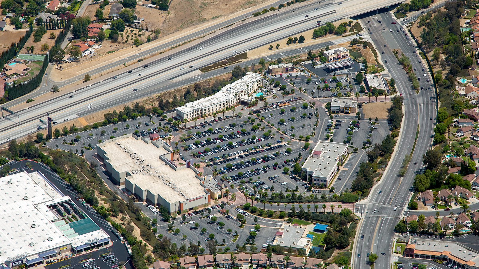
Aerial photo of the expansive 32-acre Crossroads Entertainment Center in Chino Hills, highlighting prominent businesses including Harkins Theatres, Hampton Inn & Suites, and Starbucks.
Marketing Real Estate
Real estate agents can leverage aerial photography to showcase their residential or commercial real estate properties listed for sale or rent in Chino Hills. Aerial photographs give potential buyers an immediate impression of the property and its surroundings. This method proves particularly useful for larger properties where ground-level photographs can't capture the full scope.
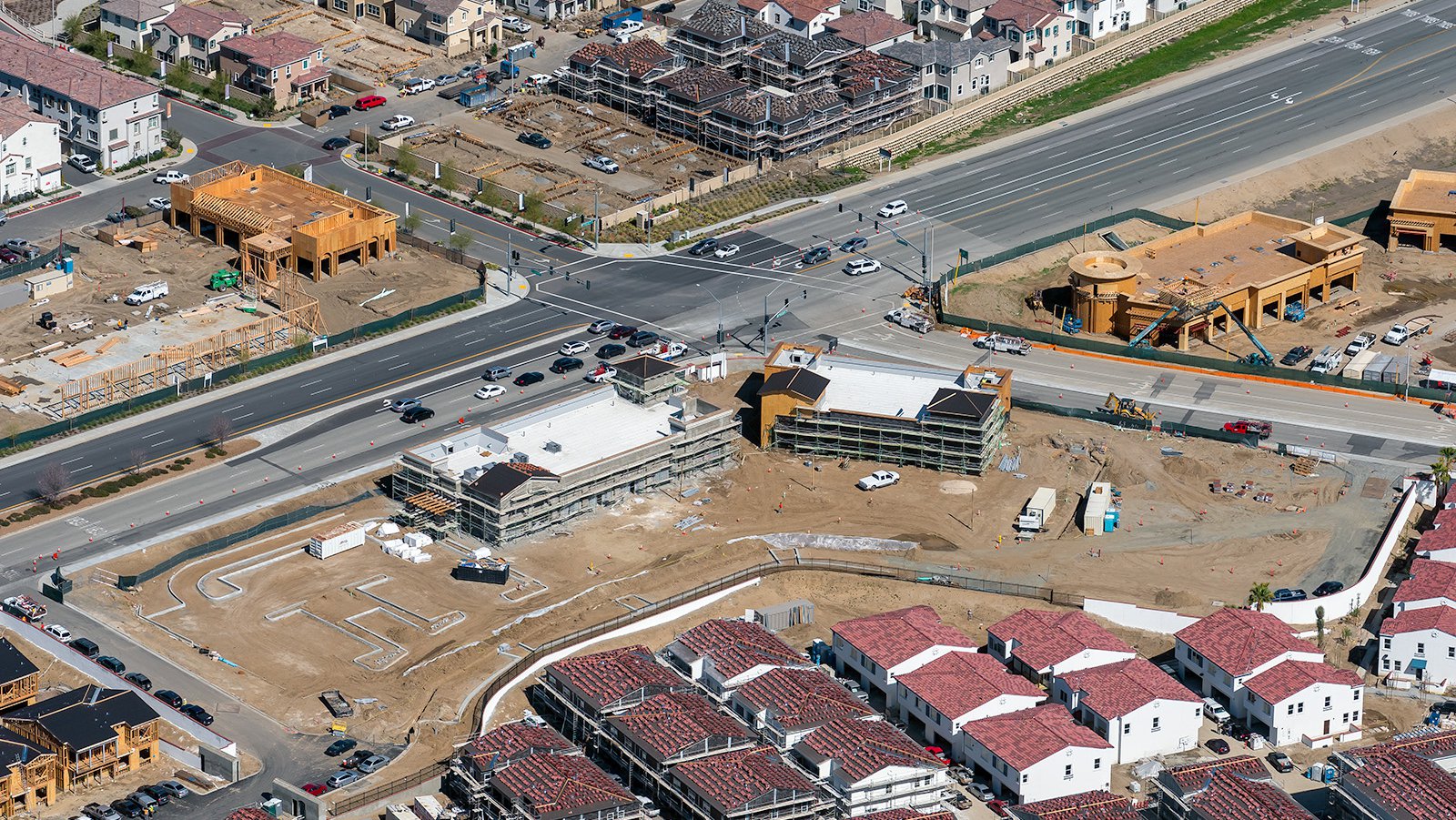
Aerial view of construction of the Santa Barbara at Chino Hills Shopping Center, a mixed-use development, which includes residential apartment blocks and commercial buildings, scattered across a 30-acre property.
Monitoring Progress on Construction Projects
Additionally, aerial photography is invaluable for tracking progress on large-scale construction projects such as shopping centers or residential developments. Regular aerial shoots allow contractors and developers to monitor progress without frequent on-site inspections. This efficiency translates into a time and cost savings while providing an accurate picture of the project’s development over time. These photographs also serve as historical records for insurance purposes and legal disputes.
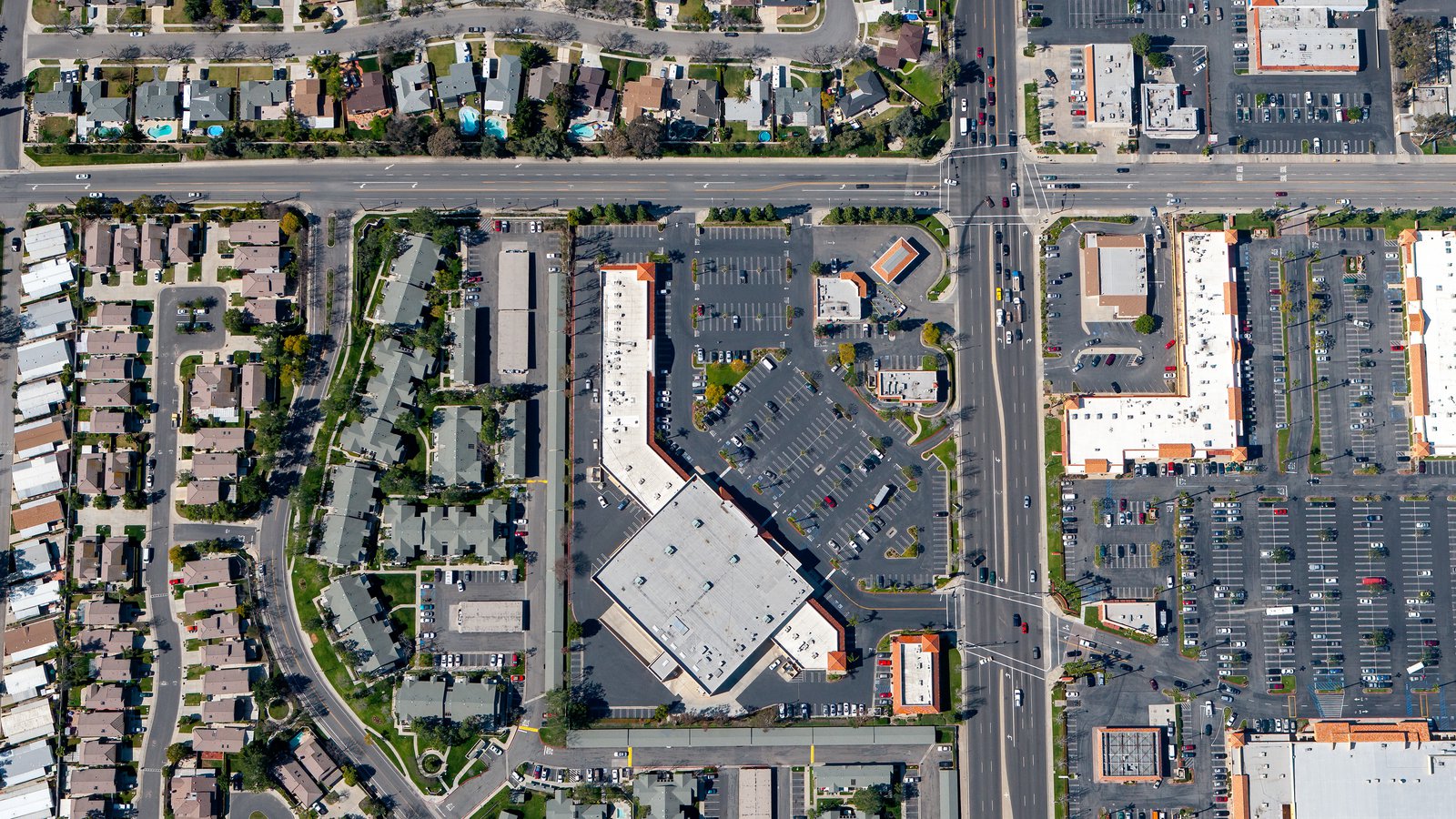
Vertical view of a Chino Hills shopping center, surrounded by residential neighborhoods, providing a glimpse into the diverse fabric of this vibrant community.
Mapping Entire Neighborhoods
Apart from stunning visuals, aerial photography has practical benefits. High-resolution cameras fitted on aircraft can survey large areas, generating accurate, high-resolution imagery for GIS and CAD purposes. These aerial photo maps can be used for planning or lead generation—for example, roofing contractors could identify roofs that need repairing.
If you're seeking an effective way to monitor the progress of your construction project or simply want awe-inspiring images of Chino Hills, aerial photography is the perfect solution! For top-notch aerial photography services in Chino Hills, look no further than West Coast Aerial Photography!
Get in Touch Today
From mesmerizing photos of the Chino Hills State Park to vibrant shots of the bustling Big League Dreams, our goal is to embody the unique character and spirit of Chino Hills in each photo we take.